


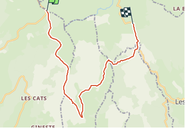


15.4 km | 19.6 km-effort


User


FREE GPS app for hiking
 SityTrail
IGN / Geographical institutes
SityTrail World
The world is yours!
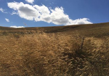
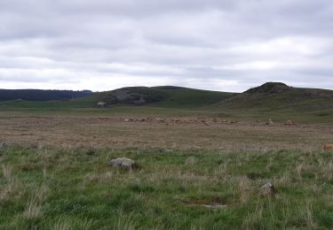
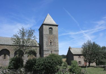
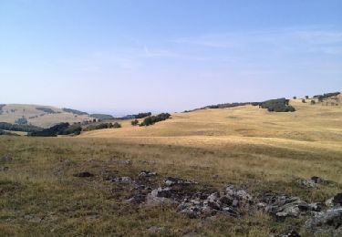
Trail Equestrian of 15 km to be discovered at Occitania, Lozère, Les Salces. This trail is proposed by Lozère Cheval.
Suite aux conseils de Marie des Gites

Walking

Nordic walking
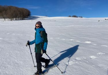
Snowshoes
Walking
Walking
Walking
Walking
Snowshoes